| GPS | N 32 43.50′ W116 33.50′ |
| Elevation | 2,800-4,900 |
| Season | Year round. Very hot in summer. Best in dry weather |
| Terrain | Rough shelf roads, can be slippery after rains |
| Difficulty | Easy to Moderate |
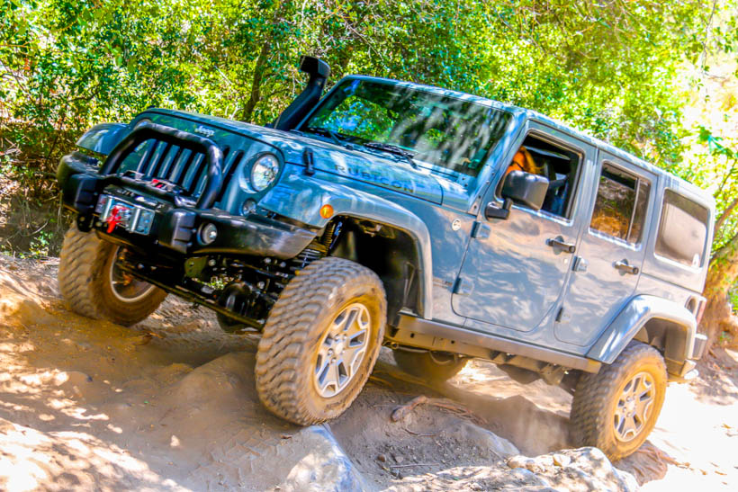
| Required Vehicle | Designated OHV area. Stock 4×4 may be challenged. |
| Time | 3 hours: loop trail |
| Length | 18.6 miles. 17.7 unpaved |
Directions: Los Pinos trail is located 50 miles east of San Diego and south of I-8. It starts at Coral Canyon Road, at the Four Corners Trailhead, 5.6 miles west of Buckman Springs Road and is a loop trail.
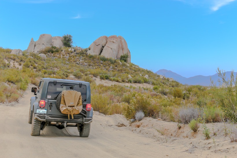
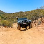
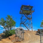
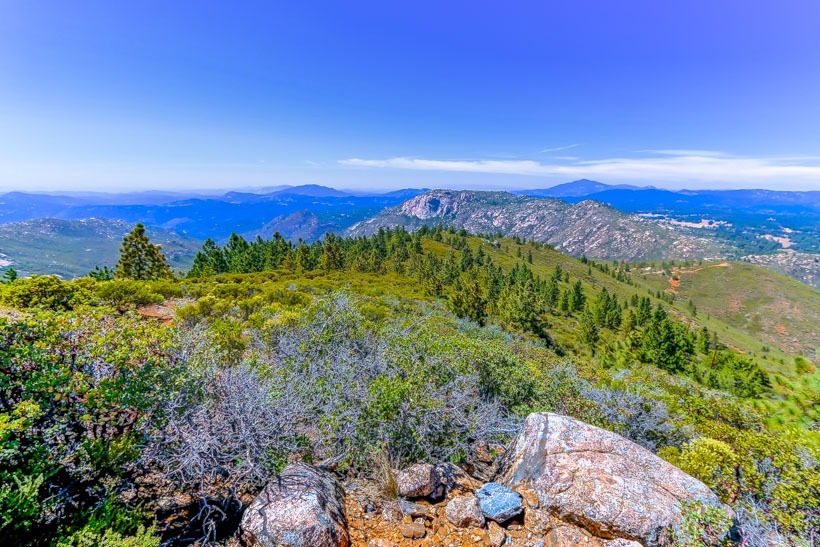
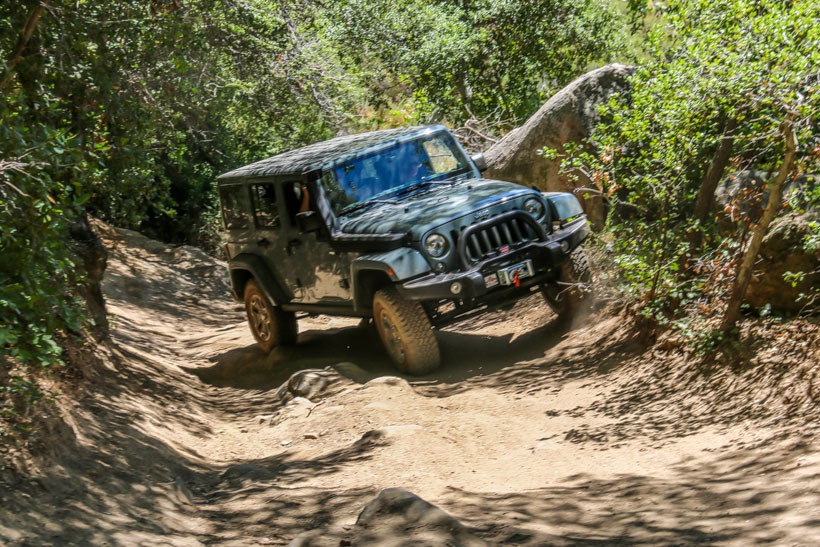
Site Location and Description: The Los Pinos trail is is a designated 4WD trail that loops around a granite boulder landscape near Corral Canyon and Lake Morena. The trail can be traveled in either direction and is rated moderate due to the Espinoza Trail section that runs down Espinosa Creek. This section of the loop can be very rough and uneven. Which direction you head will determine a descent or ascent of this difficult rough and uneven boulder strewn area. After completion of this section, the rest of the trail is fairly easy. When you get to the top of Los Pinos mountain, see if the lookout tower is open. The views are amazing and the volunteers who man the tower have a lot of knowledge about the area. Be sure to stay on the designated trail, as it borders both the Pine Creek and Hauser Wilderness Areas. This is a good day trip with beautiful and rugged terrain.
The History of Los Pinos Trail: The Luiseno and Cahuilla tribes were the first occupants of the Los Pinos region. In 1769, Junipero Serra traveled through the area and established a Mission in San Diego. The Cleveland National Forest supplied most of the wood used to build many of the California missions. The Native Americans kept the land in this area fertile with regular burnings of the brush land. During the 1800’s the land was parceled into land grants and was used for ranching. Overgrazing and timber cutting heavily taxed the environment which still hasn’t fully recovered.
Click here for more CA off-road, Overlanding trails…..and TAP into Adventure!
