| GPS | N 37 14.64 W118 29.55 |
| Elevation gain | 9,500-10,400 ft |
| Season | Best: April-November |
| Terrain | rocky in parts |
| Difficulty | moderate |
| Required Vehicle | Stock 4×4 with high clearance. |
| Time | hour |
| Length | 8.6 miles |
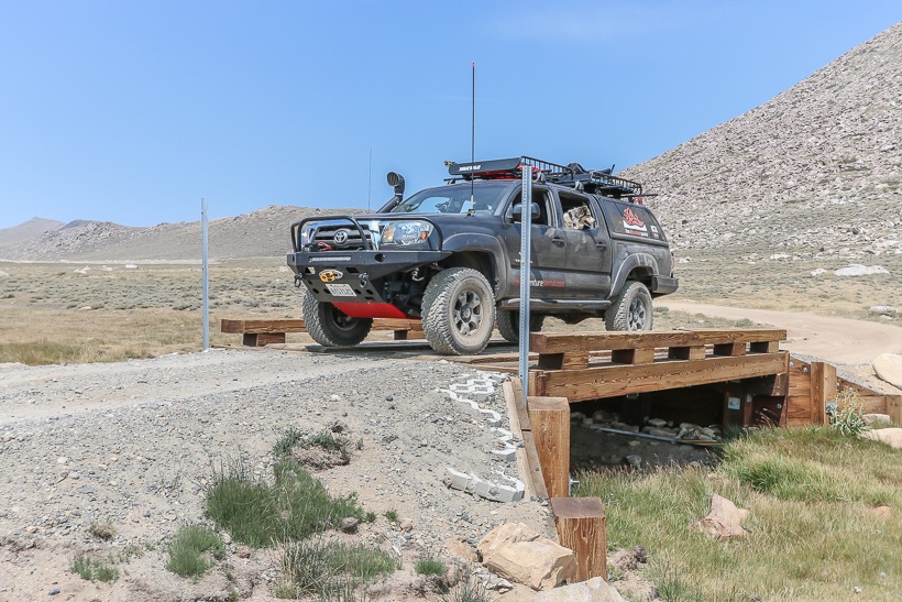
Directions: This trail branches off of the Coyote Creek Trail in the Californian Eastern Sierras at the intersection of 8S18 and 7S10. Where the trail splits, take a left to Coyote Flat.
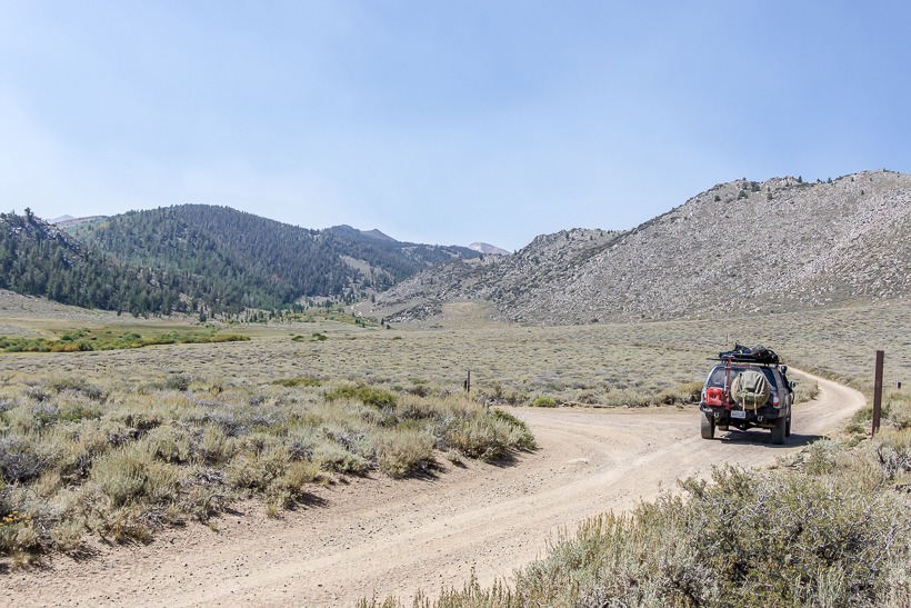
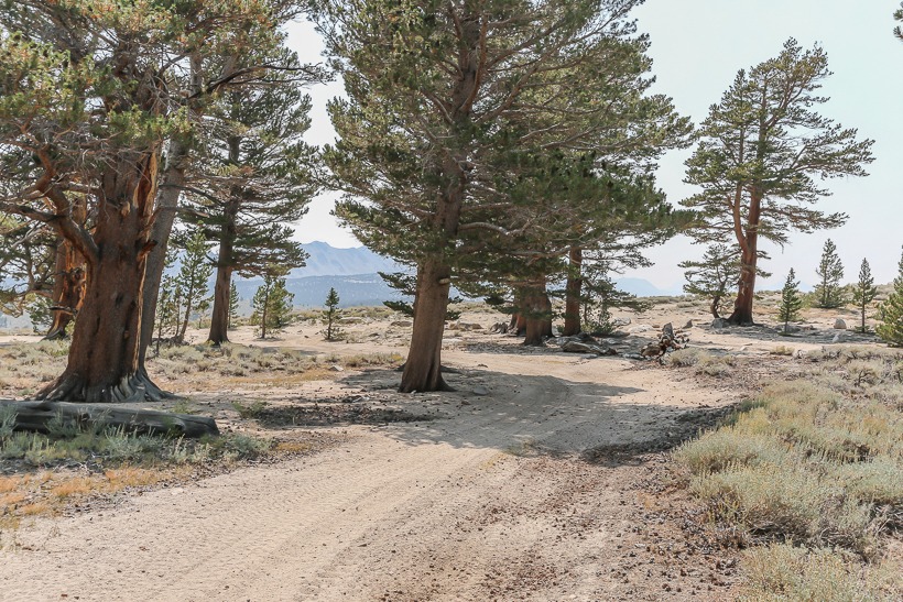
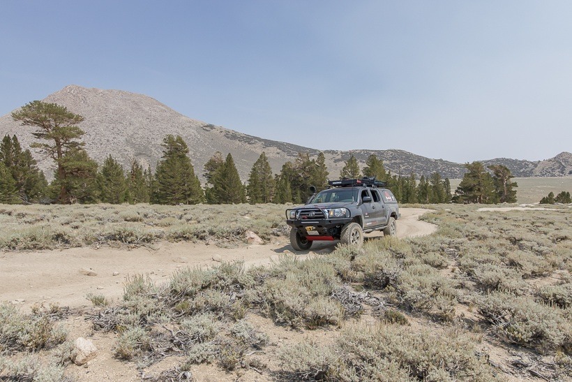
Site Location and Description: This route will take you south of the Coyote Creek Trail and crosses through the West Fork of Coyote Creek before coming across the Coyote Flat Trail. A side trail off of Coyote Flat, takes you toward Funnel Lake and Rocky Bottom Lake, but the main trail follows the flat passing below Sugarloaf Peak. This part of Coyote Flat is Sanger Meadow. The meadow was named after a family who raised horses in this area. There is a small trail leads over Sugarloaf and eventually into Big Pine, but this is a difficult and very rocky trail. Heading across the flat you will come to a wooded area with pristine primitive camping opportunities. There are other campsites further along as you get toward Baker Creek (GPS N 37 10.12 W118 28.78) and the end of the trail. These have limited facilities (pit toilets). This area of Coyote Flat and Coyote Creek is well worth a couple of days exploring and camping.
For current road conditions call: Inyo National Forest White Mountain Ranger District 760-873-2500