


| GPS | N33 18.205 W116 14.346 |
| Elevation | 717 ft. to 1,250 ft. |
| Season | Year round: best Oct.-May |
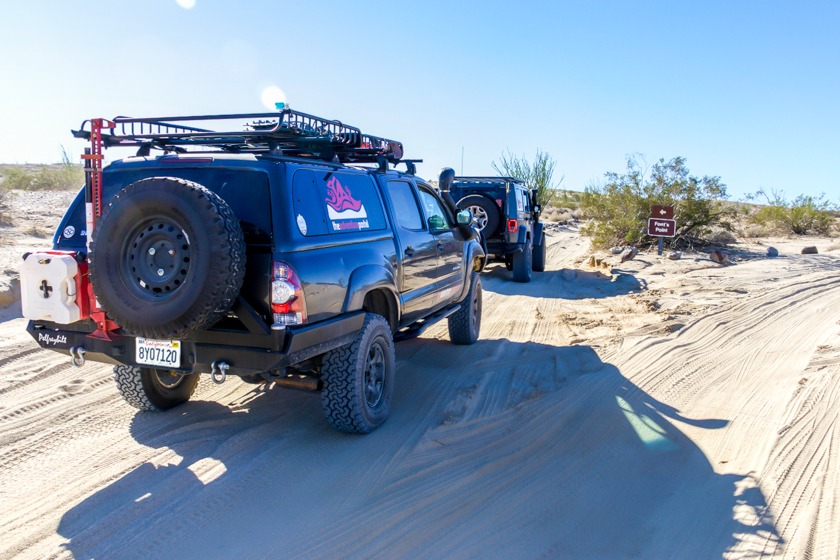
| Terrain | Packed dirt, deep sand in places, washboard: flash floods are a possibility |
| Difficulty | Easy terrain/soft sand can be a challenge |
| Required Vehicle | 2 or 4 wheel drive. With stock tires it’s better to air down a bit in the soft sand. |
| Time | 1/2 hour each way |
| Length | 4 miles each way |
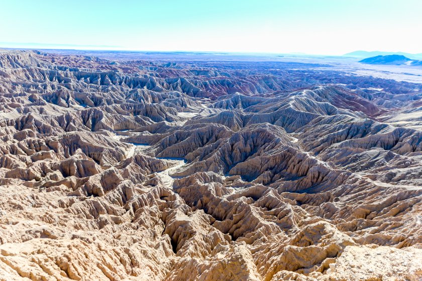
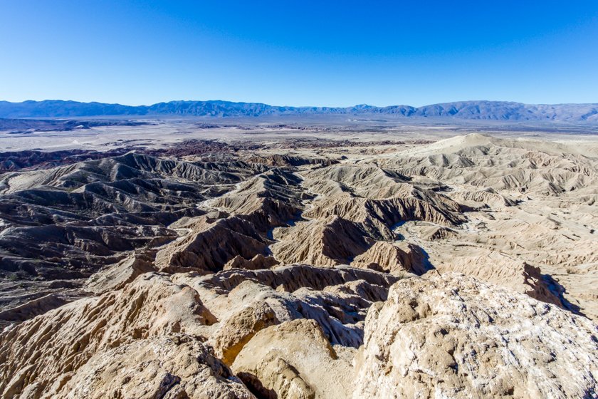
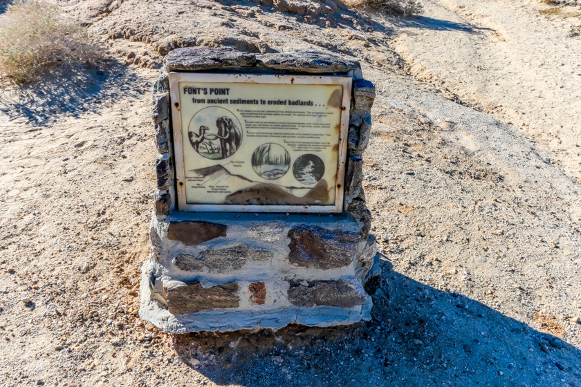
Site Location and Description: This is one of the most popular viewpoints in Anza-Borrego Desert State Park. It is located east of the Visitors Center between County Road S-22 and Route 78 overlooking the Anza Borrego Badlands. The formations here tell a 4 million-year story of geologic and paleontological history. Conglomerates, sandstones, claystones and mudstones, compressed and hardened, chronicle a variety of landscapes, fossil life forms and climates that no longer exist at Anza-Borrego. It is truly spectacular. You need to walk up a slight rise to get some great panoramic views of Anza-Borrego State Park encompassing the Borrego Badlands. You will see the Vallecito Mountains, the Borrego Valley with its washes, eroded canyons, the oasis of Borrego Springs, the Peninsular Range, Borrego Buttes and the Pinyon Mountains. This is a tremendous and popular veiwpoint.
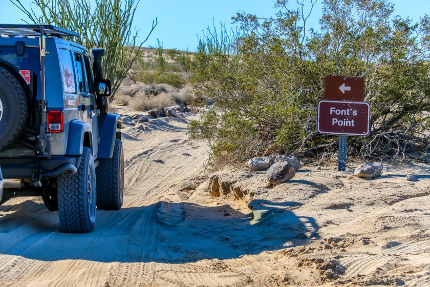
Directions: From Borrego Springs, take highway S22 east for approximately 11 miles. There will be a sign near mile marker 29. From the Salton Sea, take S22 west approximately 17 miles.
The History of Fonts Point: More than 200 years ago, the Spanish explorer Juan Baustista de Anza passed Font’s Point leading a band of men, women and mules northward to Monterey, California. The path he forged through the desert followed San Felipe Wash. Father Pedro Font, who served as official chaplain, diarist and observer on Anza’s expeditions of 1775-76, described this vantage point of the Borrego Badlands later named for him as the “sweepings of the earth.”
One and a half to 6 million years ago, Anza-Borrego was a receiving basin for the Colorado River while it carved out the Grand Canyon. Earlier, delta-marine waters of the northern Gulf of California covered the area. Organic deposits settled and shifted as mountains rose. All of this movement leaves us with a treasure trove of many ancient land mammals buried in the sedimentary layers of rock, conglomerate and dried mud as well as thousands of acres of canyons and dry washes to drive through, hike through and explore. Sedimentary rocks contain enough side canyons and dry washes for a lifetime of adventurous exploring.
Link to: Anza Borrego Desert State Park


